- Products
- Tailored solutions
- Aircraft Detection Lighting Solution for Vertiports (VPLS)
- (S)AR-Glasses – Augmented Reality techniques to support Search & Rescue Missions
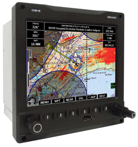
- G200 Supplemental Type Certificate Kit
- Piaggio Supplemental Type Certificate Kit
- Aircraft Detection Lighting System in Cooperation with Dark Sky
- Lufthansa Ground-Based Radio Network
- NH90 Military Helicopter
- Pilatus PC-21 Trainer
- WTG900: The Military Grade Warning Tone Generator
- Company
- Certification
- Customer service
- News & Media
- Contact Us
- Engineering Service Center
- Dealer portal (USA)